


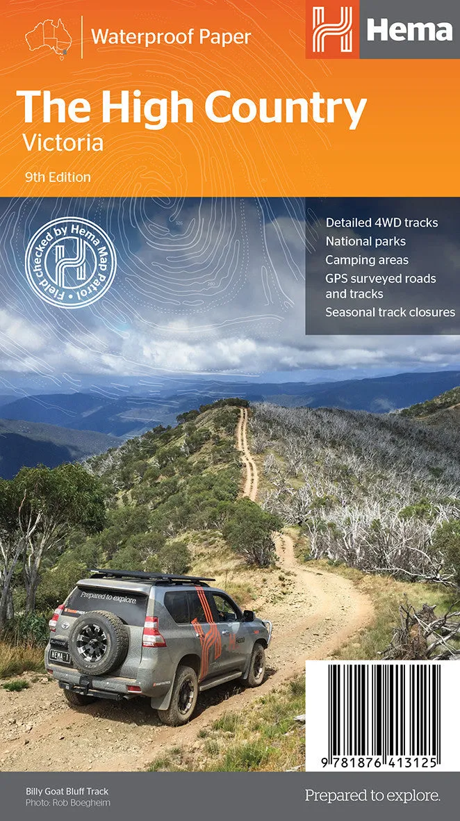

The High Country Victoria Map
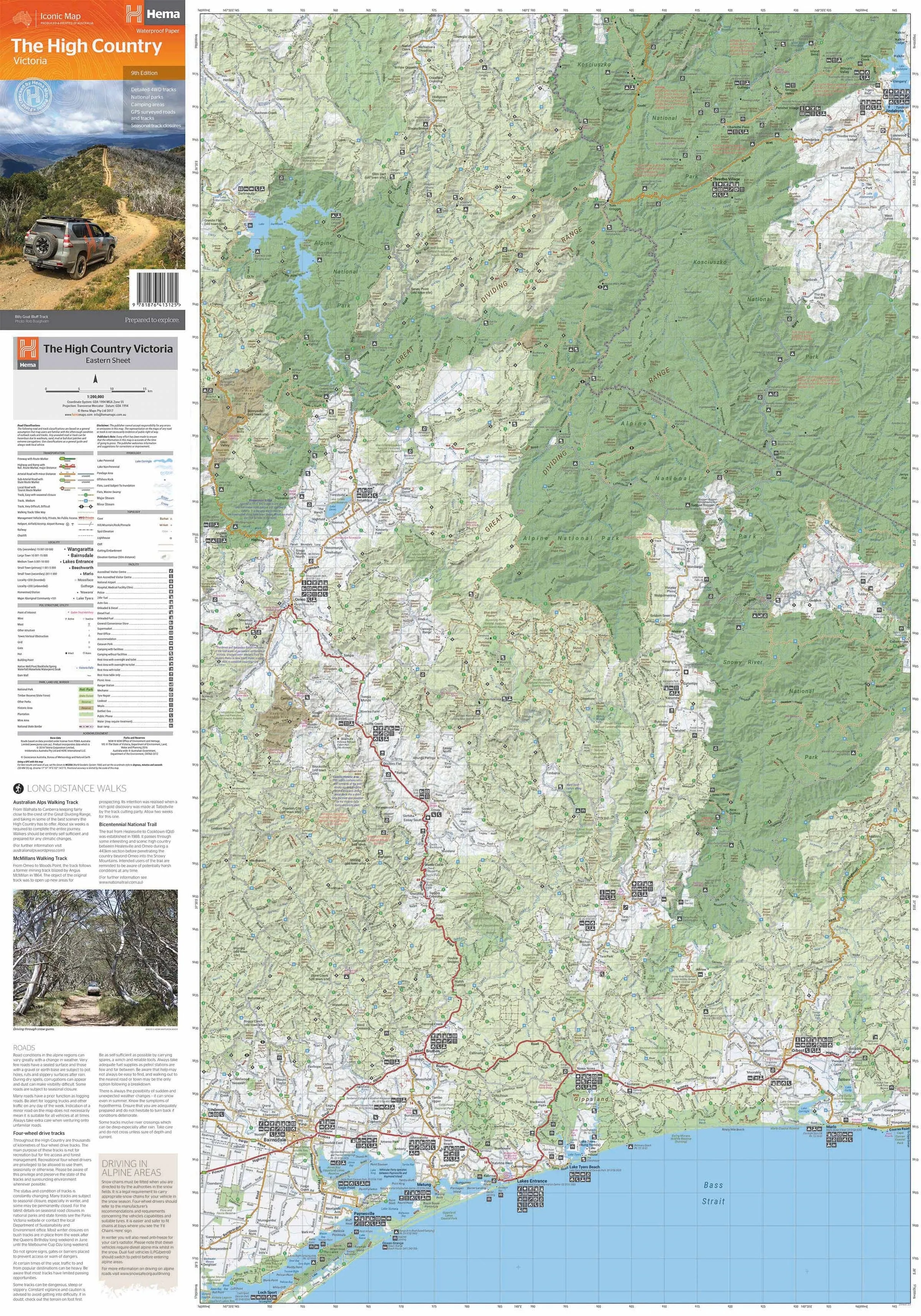
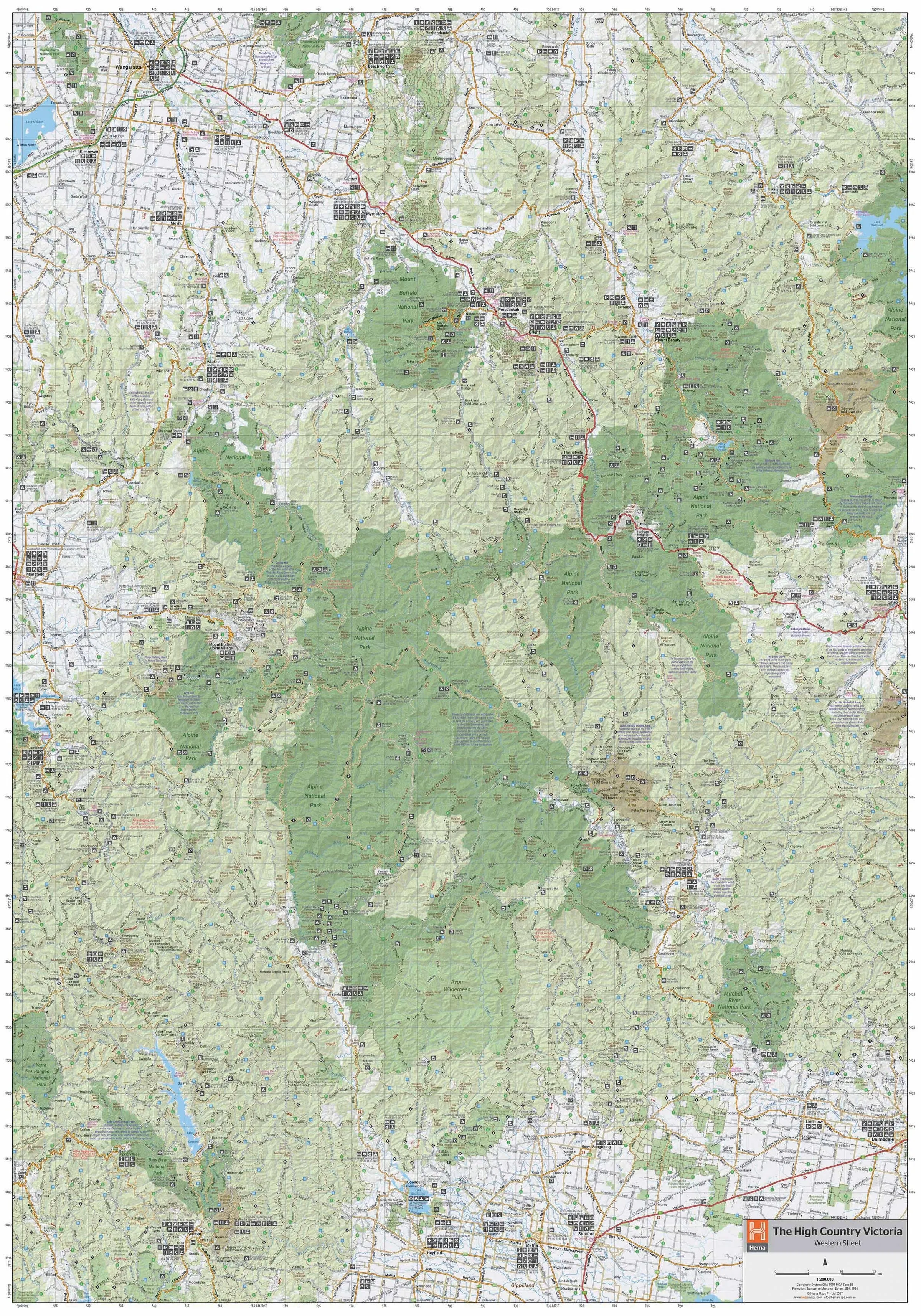
Hema's brand new 9th edition High Country Victoria map is now available, with digital cartography and containing GPS surveyed roads and 4WD tracks. The coverage has been expanded to include Wangaratta and Jindabyne in the north as well as Bairnsdale and Orbost to the south. At a scale of 1:200 000 the new High Country map has great 4WD track detail.
The simple highlight system makes it easy to identify tracks that are closed seasonally. This map offers detailed road and track distances as well as facility information, including fuel supplies. There's also a handy list of contact numbers for further information.
This map is printed on waterproof / tearproof paper.
This map features:
- 4WD tracks
- Huts
- Camping areas
- Old townsites
- Seasonal track closures
- GPS grid
- Road distances
- Hiking trails
- Accommodation
Opened Size: 695 x 995 mm
Scale: 1:200,000


